District Maps
District Map
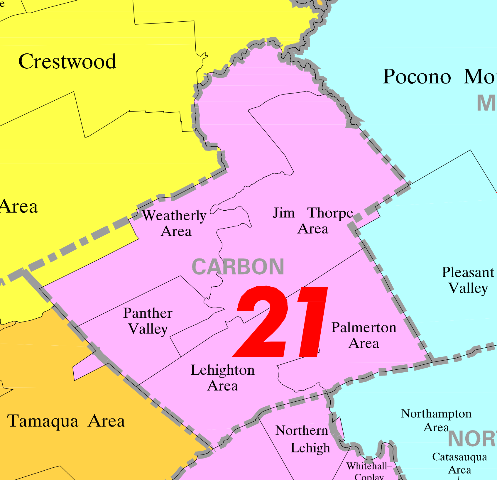
The Jim Thorpe Area School District is located in Carbon County, and extends from the eastern boundary of Summit Hill through the town of Jim Thorpe and along Route 903 through Albrightsville and Lake Harmony, and encompasses approximately 150 square miles.
The school district borders the neighboring districts of Weatherly Area to the north and west, Panther Valley to the west, Lehighton Area and Palmerton Area to the south and Pleasant Valley to the south and east. It is part of the Carbon-Lehigh Intermediate Unit #21.
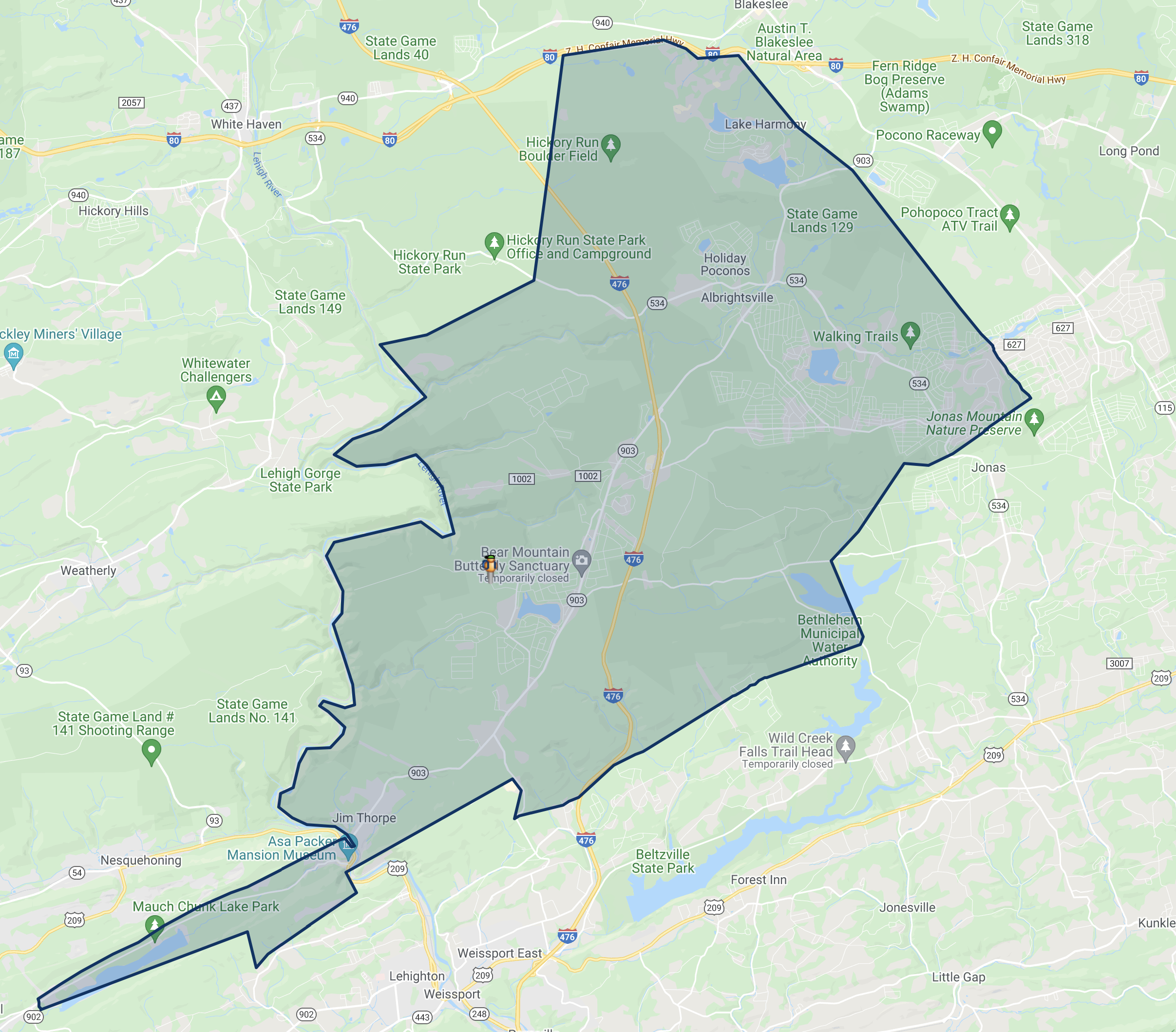
Jim Thorpe Area School District Zoning Map
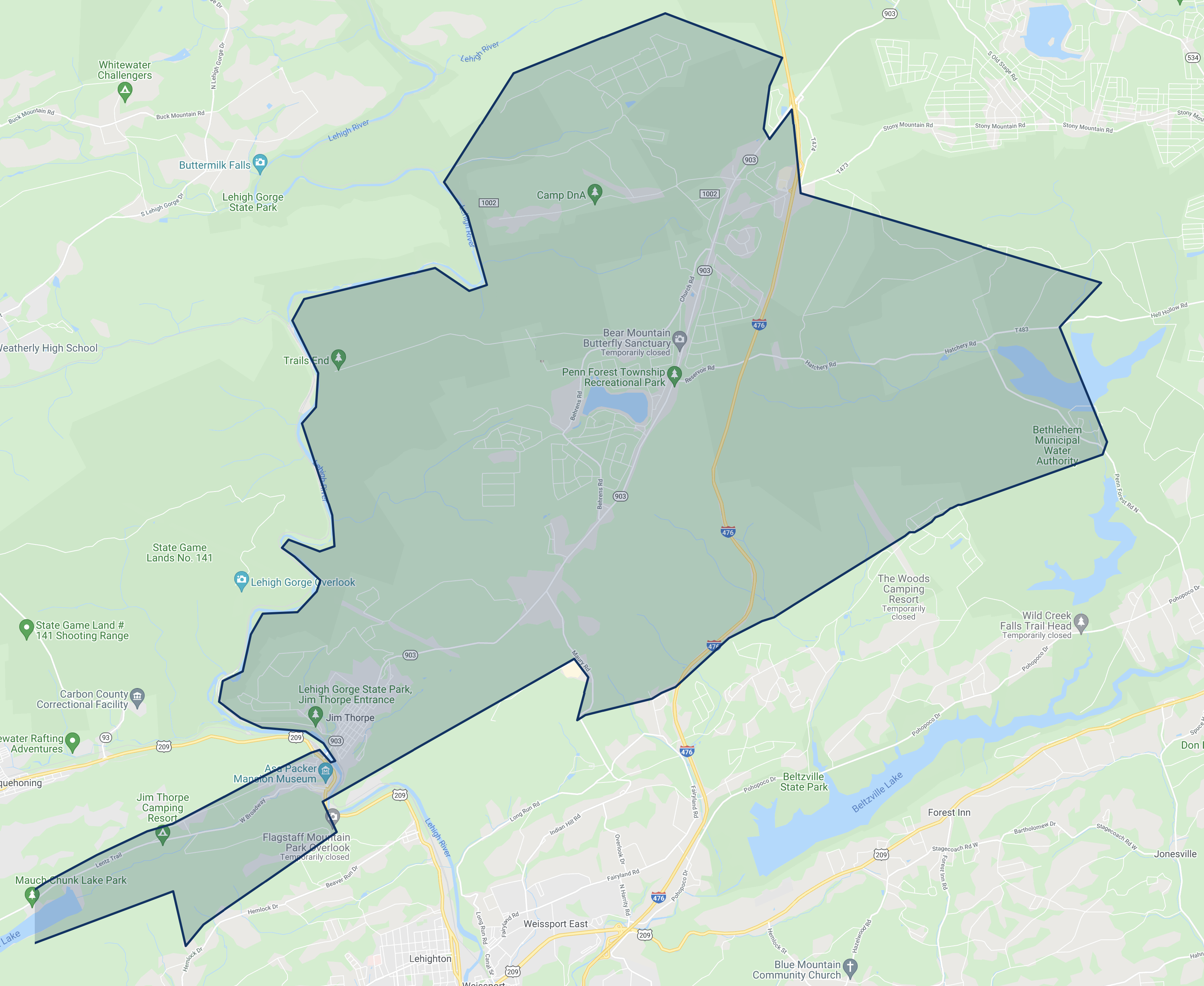
L.B. Morris School Zoning Map
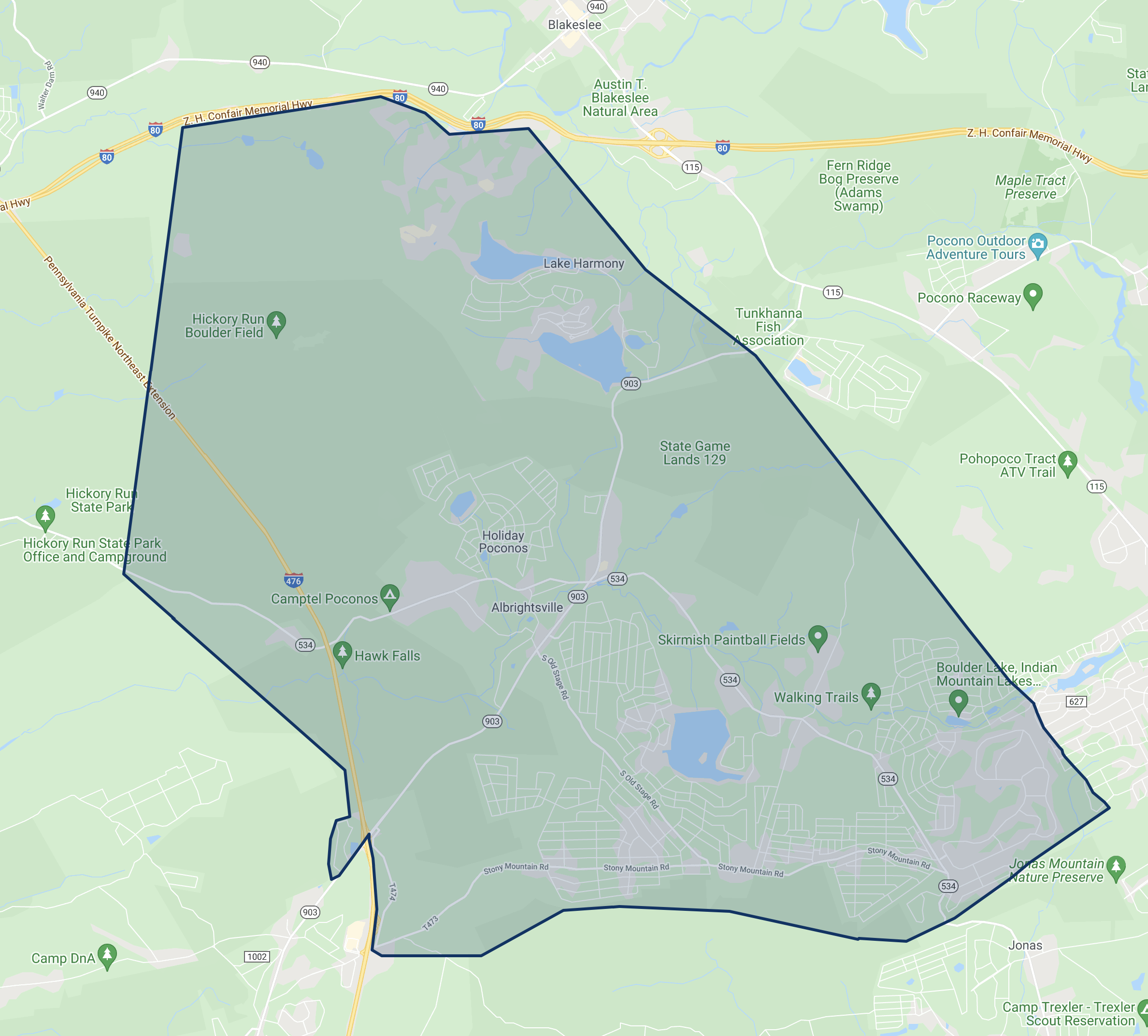
Penn Kidder Campus Zoning Map
Jim Thorpe Area High School Zoning Map
